
· space terms · 7 min read
Space Situational Awareness (SSA)
How our ability to track and predict objects in orbit has become the foundation of space safety in an increasingly crowded cosmic neighborhood
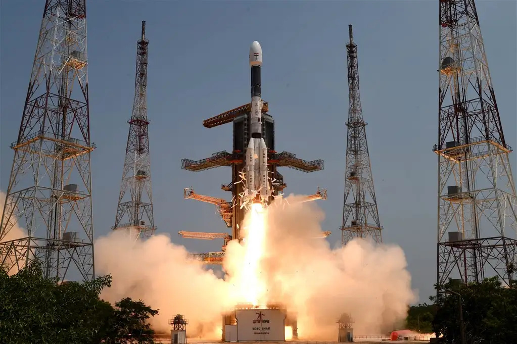
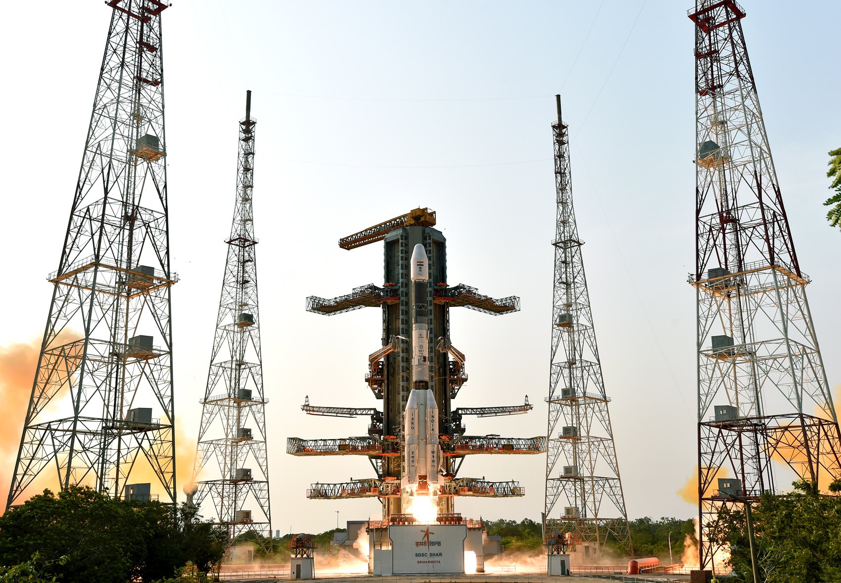
Imagine driving through a packed highway at 17,500 mph with no traffic lights, limited visibility, and thousands of other vehicles zooming around you—some of which are abandoned wrecks that can’t get out of your way. Now imagine doing all that while also being responsible for millions of dollars of equipment and potentially human lives. That’s essentially what satellite operators face every day, and it’s why Space Situational Awareness (SSA) has become one of the most critical capabilities in our space-faring age.
What is Space Situational Awareness?
Space Situational Awareness refers to the comprehensive knowledge of the space environment, including the tracking and prediction of objects in orbit around Earth. It’s essentially the ability to know what’s up there, where it’s going, and whether it poses any risk to operational satellites or human spaceflight.
SSA is “the knowledge, characterization, and practice of tracking space objects and their operational environment” that enables operators to predict potential collisions and take evasive action when necessary. It’s the infrastructure that prevents our increasingly crowded orbital highways from becoming demolition derbies.
SSA vs SDA
While SSA traditionally focused on tracking and cataloging objects in Earth’s orbit, the US military shifted to the term “Space Domain Awareness” (SDA) to reflect a broader, more strategic approach. SDA encompasses not only the physical tracking of satellites and debris but also understanding intent, threats, and the operational environment in space as a contested warfighting domain. This change highlights the need for proactive defense, intelligence, and decision-making capabilities beyond simple object monitoring, aligning with national security priorities as space becomes increasingly vital and competitive.
Since their adoption of that terminology, most of the world has migrated to using “Space Domain Awareness” (SDA) in official and technical contexts. This shift reflects the growing recognition that space is not just a physical environment to be monitored, but a strategic domain requiring active management, defense, and policy coordination. As a result, international agencies, commercial operators, and academic researchers increasingly use SDA to describe the broader set of activities and responsibilities involved in maintaining safe and secure access to space.
This article will focus on the traditional SSA aspects of SDA.
Why It Matters
The stakes of poor space situational awareness are enormous:
-
Asset Protection: With satellites costing anywhere from millions to billions of dollars, collision avoidance is essential for protecting these investments.
-
Service Continuity: We rely on satellites for everything from weather forecasting to GPS navigation to global communications. Service interruptions due to satellite damage affect everyday life on Earth.
-
Preventing Cascading Disasters: The Kessler Syndrome—where debris from one collision causes more collisions, creating more debris in a catastrophic chain reaction—could render certain orbital regions unusable for generations.
-
National Security: Many countries view space as a domain vital to their security interests, making SSA a strategic imperative.
-
Human Spaceflight Safety: Astronauts aboard the ISS have had to perform emergency maneuvers multiple times to avoid debris, highlighting SSA’s life-or-death importance.
How It Works
Creating effective space situational awareness requires a complex ecosystem of technologies and processes:
The Sensors
SSA begins with observation, using a worldwide network of both government and commercial sensors:
-
Ground-based radars: Powerful systems like the U.S. Space Fence can detect objects as small as a marble in low Earth orbit.
-
Optical telescopes: Primarily used for tracking objects in higher orbits where radar becomes less effective.
-
Space-based sensors: Satellites equipped with specialized instruments that can monitor from above Earth’s atmosphere, avoiding weather limitations.
The Analysis Systems
Raw data from sensors feed sophisticated computational systems that:
-
Identify and catalog objects: Distinguishing between known satellites, rocket bodies, and debris.
-
Determine precise orbits: Calculating the path of each object using physics models and mathematical algorithms.
-
Predict conjunctions: Forecasting potential close approaches between objects.
-
Assess collision probability: Calculating the statistical likelihood of a collision requiring evasive action.
The Response Mechanisms
When a dangerous conjunction is predicted:
-
Alerting operators: Notification systems warn satellite operators about potential collisions.
-
Collision avoidance maneuvers: For satellites with propulsion, operators can execute burns to change their orbit temporarily.
-
Last-resort protection: For human spaceflight, procedures like moving crew to spacecraft that can serve as “lifeboats” if debris cannot be avoided.
Major Players in SSA
Several entities maintain SSA systems, often with overlapping but complementary capabilities:
-
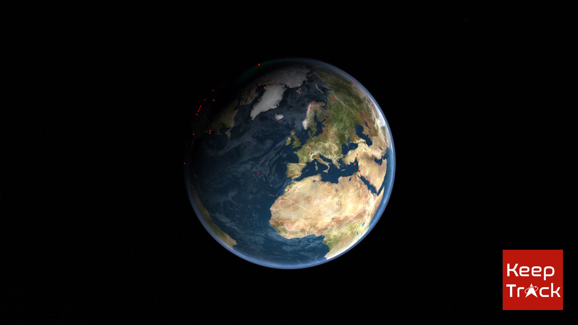
U.S. Space Force: Operates the Space Surveillance Network, the most comprehensive SSA system globally, tracking over 37,000 objects.
-
European Space Agency: Runs the Space Safety Programme (formerly SSA Programme) focusing on space weather, near-Earth objects, and space debris.
-
Russian Space Surveillance System: Maintains independent tracking capabilities focused primarily on objects potentially threatening Russian assets.
-
Commercial providers: Companies like LeoLabs and ExoAnalytic Solutions offer specialized tracking and conjunction analysis services.
-
International cooperative efforts: Organizations like the Inter-Agency Space Debris Coordination Committee (IADC) enable information sharing.
The Evolving SSA Challenge
Space situational awareness faces growing challenges that are driving rapid evolution in the field:
The Megaconstellation Era
The deployment of satellite constellations like SpaceX’s Starlink (eventually targeting over 40,000 satellites) is dramatically increasing the tracking burden. A single Starlink launch can add 60 new objects to track overnight, requiring more sophisticated automation in SSA systems.
Smallsat Proliferation
The boom in small satellites, particularly CubeSats, has democratized space access but created tracking challenges. These smaller objects are harder to detect and frequently lack propulsion systems for collision avoidance.
Debris Multiplication
Major events like the 2007 Chinese anti-satellite test and the 2009 Iridium-Cosmos collision added thousands of debris fragments to orbit. Each new piece of debris increases the computational complexity of conjunction analysis exponentially.
Beyond Earth Orbit
As humanity pushes into cislunar space, traditional Earth-centered SSA systems face limitations. New approaches are needed to track objects in lunar orbit and the complex gravitational environment between Earth and Moon.
The Future of SSA
Several emerging trends are reshaping space situational awareness:
Commercial SSA Marketplace
Private companies are increasingly filling gaps in government SSA capabilities, creating a new market for specialized tracking services, analytics, and risk assessment.
AI and Machine Learning Integration
The volume of data and prediction complexity is pushing SSA toward AI-driven approaches that can process information faster and potentially identify patterns human analysts might miss.
Autonomous Collision Avoidance
Future satellites may incorporate onboard systems to detect and avoid collisions without human intervention—particularly crucial for constellations with thousands of units.
International Space Traffic Management
There’s growing recognition that SSA needs to evolve into a comprehensive Space Traffic Management framework with agreed standards and protocols, similar to air traffic control.
Space Situational Awareness for Non-Specialists
Even if you’re not operating a satellite, SSA has practical applications:
-
Satellite spotting: Websites like Heavens-Above use SSA data to tell you when and where to look for bright satellites passing overhead.
-
Re-entry predictions: When large objects like defunct satellites de-orbit, SSA systems help predict where and when they might impact Earth.
-
Space weather alerts: Many SSA systems include space weather monitoring that can warn of potential GPS or radio communication disruptions.
Fun Fact Space Nerds Might Not Know
The most precise orbital data isn’t publicly available for most satellites! The accuracy of publicly accessible Two-Line Element Sets (TLEs) used by amateur satellite trackers is deliberately limited for national security reasons. Military SSA systems can track objects with accuracy measured in meters rather than kilometers, and they maintain special catalogs for particularly sensitive objects that never appear in public databases. This “catalog separation” creates interesting challenges for private SSA providers who often have better sensors than what produced the public data but are working with an intentionally degraded baseline for comparison.
As we venture deeper into the space age, SSA represents both a technical challenge and a governance frontier. The cosmic highways above us will only get more congested, making our ability to monitor and manage this traffic crucial to maintaining safe, sustainable access to space for generations to come.
References
- The Aerospace Corporation - Space Situational Awareness
- European Space Agency - Space Safety Programme
- Space Foundation - Space Situational Awareness
- Dragonfly Aerospace - Understanding Space Situational Awareness
- ScienceDirect - Space situational awareness systems: Bridging traditional methods and artificial intelligence

Theodore Kruczek